Blogs

Berth to berth voyage schedule optimisation – a Torres Strait case study

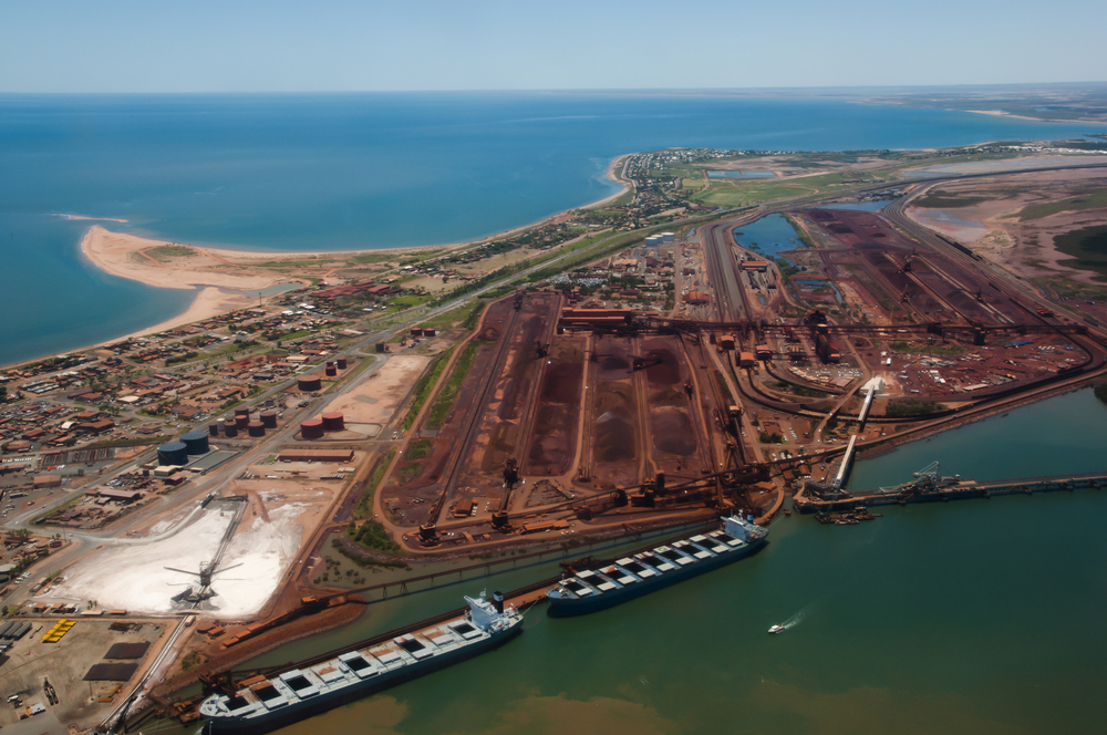
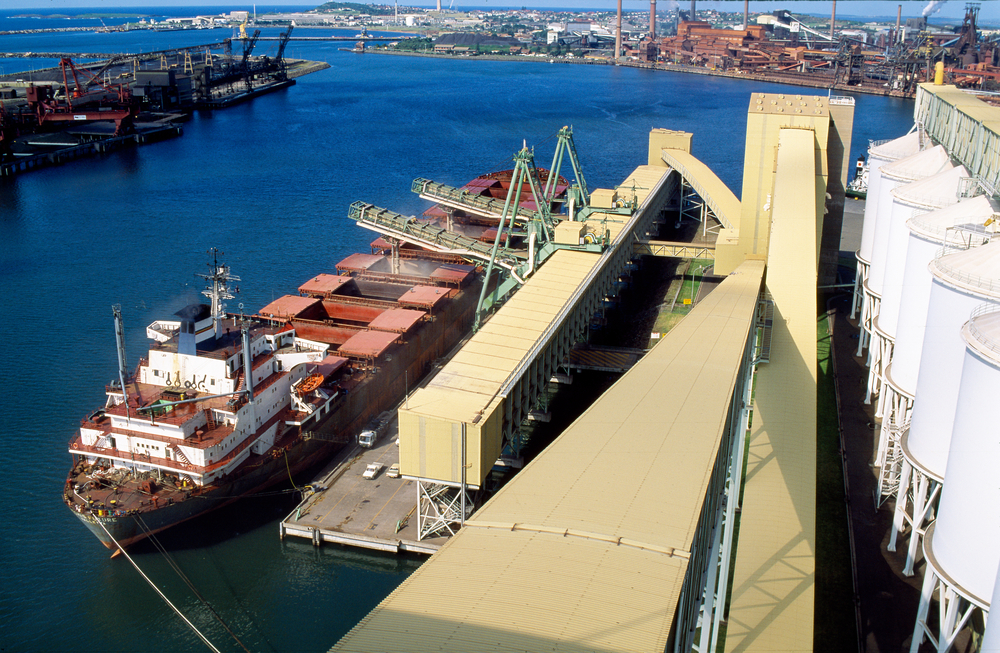
This paper presents a case study on the potential operational and commercial efficiency gains available from an under-keel clearance (UKC) based scheduling approach to voyage planning via the Torres Strait. The Torres Strait shipping lane imposes operational UKC constraints on vessels that utilise the waterway when drawing drafts over 8 meters. This constraint affects not only the maximum drafts that operators can expect per vessel (and hence cargo throughput), but also makes timing an important consideration. By the nature of the tidal cycles in the region, these timing and draft constraints vary daily to seasonally in an operationally impactful manner. To fully utilise the waterway’s throughput capacity on a per-vessel basis, a schedule planning tool has been developed that can find optimised opportunities to maximise voyage profitability for vessel operators. This is achieved by modelling the voyage from origin berth to destination.

This optimisation considers; freight rates & vessel cargo tonnage, time charter rates, fuel consumption and bunker costs, and the effect of wind, wave & ocean currents on vessel steaming times. Where the origin and destinations are also UKC constrained, these are also taken into account.

This case study finds that the complexity of the timing and UKC constraint interactions provides opportunities where fuel costs, time costs and freight yields may be balanced to reveal unexpected optimal strategies. These are particularly likely during the mid-year months where the daily high-water levels tend to be lower. An analysis has been performed for just such a trade route, where the estimated savings by following optimised results are up to USD55,000 for specific voyages and an average of USD11,000, depending on the constraints modelled and the time of year.

Click here to read the full article: https://wpstaging.omcinternational.com/wp-content/uploads/2019/09/Coasts-Ports-2019-Berth-to-berth-voyage-schedule-optimisation-%E2%80%93-a-Torres-Strait-case-study.pdf

Blogs

An integrated approach to port planning, operations, & risk management through technology

Ports and shipping channels are critical components of many nations’ transport infrastructure, and make a significant contribution to the economy. With increasing global trade comes further pressures on ports through greater volumes, larger vessels, and more demanding shipping schedules. This is occurring against a backdrop of increasing regulatory, environmental, and social requirements for port authorities and operators that makes development more challenging. Furthermore, port authorities often hold the dual responsibility of facilitating trade and ensuring port safety.

Advancements in technology from a range of fields in the maritime sector are enabling new solutions to these challenges. Developments include improvements in hydrodynamic modelling capabilities, high density bathymetric surveys, improvements in weather forecasting, cost effective access to real time met-ocean data, advancements in environmental data assimilation techniques, broad adoption of AIS and Electronic Navigational Charts (ENCs), and high precision measurement of vessel motions in full scale and real time using DGPS and IMU technologies. Each of these developments individually has provided benefits to the industry. However, the greatest benefits, from the dual perspectives of risk management and efficiency, are realised when they are integrated and implemented across both the planning and operations of a port.

Changes across the industry, and within specific port environments, such as vessel sizes, transit speeds, channel depth profiles, transit times, and changes to port layouts resulting from new berths or dredging can influence the applicability of long standing port procedures and risk management functions, particularly static UKC regimes. To highlight the changing nature of the port operating environment, this paper presents three separate examples where assumptions about port operations have been incorrect, and consequently, the design or operating procedures have required amendment. The paper culminates with case studies for the Ports of Port Hedland, Whyalla and Geelong, to examine how a suite of integrated software solutions deliver increased safety and improved operational performance. This is achieved through a consistent approach to port planning, capital and maintenance dredging, vessel fleet planning and chartering, vessel transit planning, and real time in-transit monitoring.

Click here to read the full article: https://wpstaging.omcinternational.com/wp-content/uploads/2010/02/PIANC-2018-An-Integrated-Approach-to-Port-Planning-Operations-Risk-Management-Through-Technology.pdf

Blogs

Channel optimisation and risk management through technology at the worlds largest bulk export port

The Port of Port Hedland is the world’s largest bulk export port. The Pilbara Ports Authority (PPA) facilitates approximately $100m of trade through the port every day, resulting in around 6,000 vessel movements per year. All this is achieved through a uni-directional and tidally constrained 42km channel, with up to eight vessels carrying more than one million tonnes of iron ore sailing on a single tide. In May 2016, PPA received WA State Government approval for the Channel Risk and Optimisation Project (CROP).

CROP is a $120m dredging project aimed at mitigating the risk of disruption to the port in the event of an adverse incident, and improving the overall export capacity of the channel through increased drafts and wider sailing windows. All deep draft vessels departing Port Hedland do so under advice of the Dynamic Underkeel Clearance System (DUKC®). In determining the CROP’s optimum design, PPA used DUKC® technology in evaluating the proposed channel design depth profiles, and to ultimately quantify the benefits of the project.

Drawing on the experiences from the PPA’s marine operations team, this paper outlines the operational challenges that exists at the Port of Port Hedland. The details of PPA’s CROP are provided and an analysis of how it will work to address the operational issues is provided. The channel design methodology is presented in detail, highlighting how integrating the operational under keel clearance (UKC) management system and the design processes yields the dual benefits of minimising the dredging volumes, thereby reducing costs and environmental impacts, and providing certainty regarding the benefits of the project. With ever increasing scrutiny on the financial and environmental credentials of ports, and higher expectations from ports’ customers, stakeholders and local community, particularly CURTIS, B 2 with respect to dredging, it is imperative that ports continue to apply best practice and be able to demonstrate the value delivered from these investments.

Click here to read the full article: https://wpstaging.omcinternational.com/wp-content/uploads/2010/06/Coasts-Ports-2017-Channel-Optimisation-and-Risk-Management-Through-Technology-at-the-end-of-the-Worlds-Largest-Bulk-Export-Port.pdf

Blogs

Connecting sea level forecasts with the bulk export industry

This study summarises the benefits of improving sea level forecasts for use in port operations from a shipping perspective. Maturation of operational sea level and ocean surface anomaly forecast services have provided the opportunity to utilise the skill that they offer to improve logistical operations at bulk goods terminals where short term Under Keel Clearance (UKC) are paramount to efficiency and safety.

OMC International has been collaborating with the Bureau of Meteorology to evaluate the applicability of the OceanMAPS aggregate sea level forecasts that have now transitioned to an ongoing operational service. The development work to evaluate the forecasts was carried out on an experimental development version. The approach developed has proven to have the ability to utilise the improved accuracy of the new model. Furthermore, the availability of water level anomaly forecast models from other providers potentially offer non-correlated skill which can be incorporated into the model in an ensemble consensus style of assimilation.

The different forcing sources, physical models and calculation architecture will be explored to understand the potential of combining heterogeneous numerical model forecasts in an operational setting. To that end, MetOcean Solutions Ltd have also provided operational water level forecasts to validate this hypothesis. This study outlines a stochastic framework for incorporating forecasts from multiple sources to maximise the benefits for the end user, foremost with the particular needs of deep draft vessel import and export shipping.

Click here to read the full article: https://wpstaging.omcinternational.com/wp-content/uploads/2010/06/Coasts-Ports-2017-Connecting-Sea-Level-Forecasts-with-the-Bulk-Export-Industry.pdf

Blogs

Real-time quality control experiences using qartod in Australian ports

Quality Assurance/Quality Control of Real-Time Oceanographic Data (QARTOD) is a set of transparent, state-of-the-art testing procedures that have been optimised for operational under keel clearance management purposes. This paper aims to describe the QARTOD framework and discuss its application for wave and tide data in two Australian ports. The content of the paper includes an examination of the effectiveness of the recommended testing processes, primarily for waves, describing benefits of the approach and lessons learned along the way. For wave processing, QARTOD has a range of tests covering data processing levels of both raw displacements and parameters.

A standard plot output to visualise the processing and output has been developed for these tests. This diagnosis plot quickly enables supporting personnel to critically review and investigate the effectiveness of the applied QC tests, while also reviewing displacements, power spectra and parameters for any given record. These transparent procedures have been found to be very effective for real-time metocean data quality control at the two ports.

Click here to read the full article: https://wpstaging.omcinternational.com/wp-content/uploads/2019/07/Coasts-Ports-2017-Real-time-Quality-Control-Experiences-using-QARTOD-in-Australian-Ports.pdf

Blogs

The impact of Met-Ocean forecasts on export shipping operations on the north-west shelf of Australia

Along the North-West Shelf of Australia, mining export operations must work in tune with nature’s whims. This paper discusses some of the refinements that have been made to enable loading and mooring operations to work more effectively with the environmental conditions on a daily basis for the port of Cape Lambert. This approach is shown to have a positive impact on moored vessel safety and port throughput efficiency. Though infrequently dangerous to deep draft vessels, the swells that propagate along the NorthWest Shelf (some from as far away as the Antarctic ocean) can on occasion threaten safe sailing opportunities due to ship motions and under-keel clearance concerns. Furthermore, large swells, along with strong winds and currents, can be dangerous to moored vessels, causing increased line tensions and potential line breakage.

Depending on port operations, shippers may have pro-active measures to manage hazardous conditions, such as deploying tugs to assist moored vessels. However, deploying such measures comes at a cost, for instance burning thousands of litres of fuel and exposing operations to dangerous conditions. Therefore, users require accurate information on the potential levels of line breakage to help make informed decisions between the ‘do-something’ and ‘do-nothing’ options, i.e. balancing the costs of deploying preventative measures with the potential costs of line breakage. To operate safely and economically, shipping operations make use of stochastically enhanced forecasts to ensure that modelling inaccuracies are accounted for, and that local observations can also be used to inform predictions. All the data sources (waves, wind, and currents) are incorporated into a single model which generates warning levels, giving users an easy-tounderstand idea of the potential dangers to moored vessels without having to view and interpret multiple data sources which may be difficult and imprecise.

Click here to read the full article: https://wpstaging.omcinternational.com/wp-content/uploads/2010/06/Coasts-Ports-2017-The-impact-of-met-ocean-forecasts-on-exports-on-export-shipping-operations-on-the-North-West-Shelf-of-Australia.pdf

Blogs

Improving navigational safety and port efficiency

Static underkeel clearance (UKC) rules, widely adopted for the transit of large ships through draught-restricted port approach channels and waterways are, by their very nature, unresponsive to environmental changes and therefore, on any given day, can range from very conservative to unsafe. They will not warn of pending groundings and it is likely that the only risk prevention control is the ship handler experience.

This paper looks at how a change in the methodology on how UKC is calculated and regulated can improve safety for all ports. It considers all the factors that need to be taken into account when assessing UKC, and outlines a proven dynamic UKC technology which ensures safety, releases economic benefits, accounts for changing environmental conditions and provides risk mitigation tools when unanticipated developments such as engine failure occur during transit. The paper concludes with a brief discussion on new developments in UKC information exchange for eNavigation.

Click here to read the full article: https://wpstaging.omcinternational.com/wp-content/uploads/2010/06/PIANC-Improving-Navigational-Safety-and-Port-Efficiency.pdf

Blogs

The value of a centimetre: improving shipping efficiencies through underkeel clearance management technology

Arrium Ltd is an international diversified mining and minerals company, with Arrium Mining being the company’s iron ore export business. The recent decline in iron ore prices has forced many miners to reduce costs across their entire logistic chains in order to survive. This paper presents the case study of the adoption of Dynamic Underkeel Clearance (DUKC®) for use in reducing freight costs through maximisation of vessel draughts. This is the first ever application of dynamic under keel clearance management technology to a transhipment operation. The implementation of DUKC® has enabled Arrium to achieve new records for single vessel tonnages, and draughts. These improved efficiencies in the shipping operations have resulted in considerable freight savings and increased revenues.

Click here to read the full article: https://wpstaging.omcinternational.com/wp-content/uploads/2010/06/IAME-2016-the-value-of-a-centimetre-improving-shipping-effeciencies-through-underkeel-clearance-management-technology.pdf

Blogs

Use of Dynamic Under-Keel Clearance (DUKC®) technology on the St Lawrence River

The St Lawrence DUKC® system is an e-Nav solution designed to ensure every deep draft passage maintains safe UKC, whilst making use of the full water column to safely maximise cargo. The system provides an intelligent way to safely manage the shift to larger, deeper vessels by managing UKC and air draft in a scientific and consistent way. The St Lawrence DUKC® system successfully integrates data from a range of user groups and disseminates passage planning information to the relevant stakeholders on the river.

Click here to read the full article: https://wpstaging.omcinternational.com/wp-content/uploads/2010/06/IHMA-2016-Use-of-Dynamic-Under-Keel-Clearance-DUKC%C2%AE-Technology-on-the-St-Lawrence-River.pdf

Blogs

Ensemble turning-point water level predictions for uncertainty estimation for short-horizon planning and risk assessment

This paper describes a probabilistic approach to achieving improved water level predictions, designed for use in ship movement planning. The short-horizon prediction of water levels and storm surge anomaly can have significant economic implications for port shipping operations. Accurate assessment of the uncertainty in the water level predictions, particularly around tidal high water turning points, can enhance the prediction of maximum sailing drafts and improve the reliability of predicted windows of opportunity for safe transit through depth-constrained shipping channels. In the presence of tidal oscillations and storm-surge anomalies, this approach for estimating water levels uses the astronomically determined turning points (i.e. at local high and low waters) as the reference points for comparison with observed water levels.

The apparent time-shift (lag) and height offset (residual) of the observations compared to the astronomical time series are used to determine climatic distributions. Together with a persistence model, these distributions are then used to generate a time-series ensemble to span the risk assessment forecast horizon, typically six to 96 hours. The data model has been designed to be able to incorporate external predictors such as those produced by numerical models. Included in this paper is a description of the principles of the methodology and a case study of its application to the Port of Weipa in Queensland, Australia.

Click here to read the full article: https://wpstaging.omcinternational.com/wp-content/uploads/2010/06/Coasts-Ports-2015-Ensemble-turning-point-water-level-predictions-for-uncertainty-estimation-for-short-horizon-planning-and-risk-assessment.pdf

1 2 4 5 6 7